|
The San Fernando
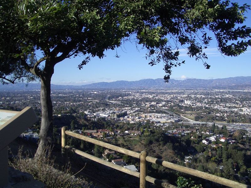
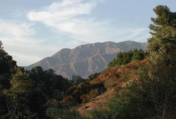
Valley is 345 square miles bounded by the Santa Susana Mountains to the northwest, the Simi Hills to the west, the Santa Monica Mountains (photo shown on the left) to the south, the Verdugo Mountains to the east, and the San Gabriel Mountains to the northeast. The Sierra Pelona Mountains (to the north) can be seen in parts of the San Fernando Valley from the gap between the
Santa Susana and San
Gabriel (Fremont Pass).
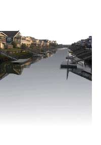
The Los Angeles River is thought to originate in Chatsworth and flowing east along the southern areas of the Valley. One of the river's only
unpaved section can be found at the Sepulveda Basin. Another waterway, the Tujunga Wash, comes down from the San Gabriel Mountains
and winds south in the eastern communities of the Valley before merging with the Los Angeles River. The valley's elevation
is about 250 - 1,200 ft. above sea level.
Most of the
San Fernando Valley is within the City of Los Angeles, California, although several smaller cities are within the Valley as well; Burbank and Glendale are in the southeast corner of the Valley, Hidden Hills and Calabasas are in the southwest corner, and San Fernando, which is completely surrounded by the City of Los Angeles, is in the northeast Valley.
Universal City, an enclave in the southern part of the Valley, is unincorporated land housing the Universal Studios filming lot. Mulholland Drive, which runs along the ridgeline of the Santa
Monica Mountains, marks the boundary between the
Valley and the
communities of Hollywood and Los Angeles'
westside.
Los Angeles' administrative center for the Valley
is in Van Nuys. Northridge is home to California State University Northridge. The 1994 Northridge Earthquake, one of the few major earthquakes to have struck directly under a major city, was epicentered in neighboring Reseda just east of the intersection of Elkwood Street and
Baird Avenue. An earlier major temblor (in 1971),
The Sylmar Quake, was also a killer, having destroyed the Olive View and Veterans Administration Hospitals, and rendered the east west
Interstate 210 useless for a number of years due to severe damage. Prior to development, before the arrival of the Los Angeles
Owens Valley Aqueduct water, the valley was a bleak semi-desert, too dry for extensive agriculture over more than a small
part of the valley. The water brought farming, followed quickly by residential and commercial development.
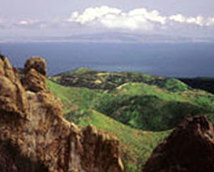
Verdugo Mountains (photo below)
The Verdugo Mountains are an urban wilderness island in the middle of Los Angeles County surrounded by the cities
of Los Angeles, Burbank and Glendale. They are only a 15-minute drive from millions of residents of the San Fernando
and Crescenta Valleys. This land is cherished by the local communities, much of which is still designated as agricultural
with many equestrian properties. This area has retained a rural atmosphere despite
its proximity to urban Los Angeles.
The Verdugo Mountains currently encompass approximately 9,000-acres of wilderness area which ranges from various chaparral,
coastal sage scrub, southern willow scrub, coast live oak woodland & forest ecosystems and many riparian areas with seasonal waterfalls. One of the few remaining natural regions in the Los Angeles area that supports abundant
native wildlife and habitats, it also contains several rare and sensitive plant and animal species.
|